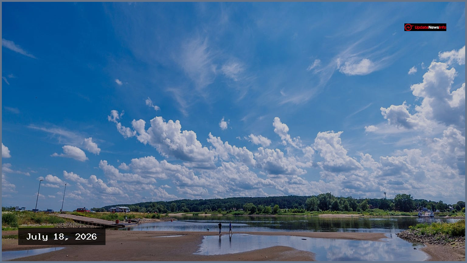
Germany is on the verge of experiencing another heatwave, as the summer weather pattern shows a stubborn tendency to return after brief cool spells. Meteorologist Dominik Jung explained that while the country is currently on the cooler side of a high-pressure system, the heat is gathering over Spain and France and is poised to move back into Germany.
The current temperatures, feeling unusually cool after a preceding extreme heat spell, are attributed to a north-westerly flow and an upper-level trough. These conditions have pushed temperatures below the 30-degree mark in many areas, and locally below 20 degrees near thunderstorms. However, Jung stressed that this is closer to normal or slightly below-average summer weather for the latter half of July, with the perception of cold being largely due to the stark contrast with the earlier extreme heat.
The preceding hot spell at the end of June was exceptional, setting new records in Germany with temperatures reaching 41.7 degrees Celsius. This heatwave phase lasted for approximately twelve days, making it one of the longest recorded since the DWD heat warning system was implemented in 2005.
The shift in weather also brings an increased risk of intense thunderstorms, particularly in the south and southeast of Germany, especially in upland regions like Bavaria, Baden-Württemberg, and parts of Saxony. Vigorous storms are also anticipated along the air-mass boundary that may form across the center of the country. Forecasters have warned of the possibility of localized severe weather, including torrential rain, hail, and gale-force gusts in these areas. While thunderstorms may also occur in northern and central Germany, they are expected to be less intense.
Jung highlighted the unusual persistence of this summer's weather pattern, noting his surprise at how stubborn it is. He observed that the high-pressure system rebuilds astonishingly quickly after each cool spell, describing it as "Summer almost keeps snapping back into heat mode."
Another notable aspect this summer has been the significant fluctuations observed between different weather models. Some models have predicted extremely high temperatures, with the American weather model at one point suggesting outliers of up to 47 degrees Celsius, which is about 20 degrees above the average of many model calculations. Jung commented that such large jumps are rare and indicate how small atmospheric disturbances are currently complicating forecasting.
Looking ahead to the coming weeks, the general trend still points towards warm and dry conditions. Following the current unsettled phase, many models anticipate a strengthening of high pressure. From around July 21, temperatures are expected to range between 28 and 34 degrees Celsius, with local highs potentially reaching 38 degrees. This suggests a return of heat days, desert-like conditions, and tropical nights, while dryness could become a more prominent issue in many regions.
However, Jung cautioned that long-range forecasts carry considerable uncertainty, stating, "A trend is not a pinpoint forecast." He explained that beyond a week, the spread of model outcomes widens significantly, making precise predictions more difficult further into the future. Despite this uncertainty, it appears certain that summer is not yet ready to retreat.
Only one thing seems certain, and many will have guessed it: summer clearly has no intention of retreating.