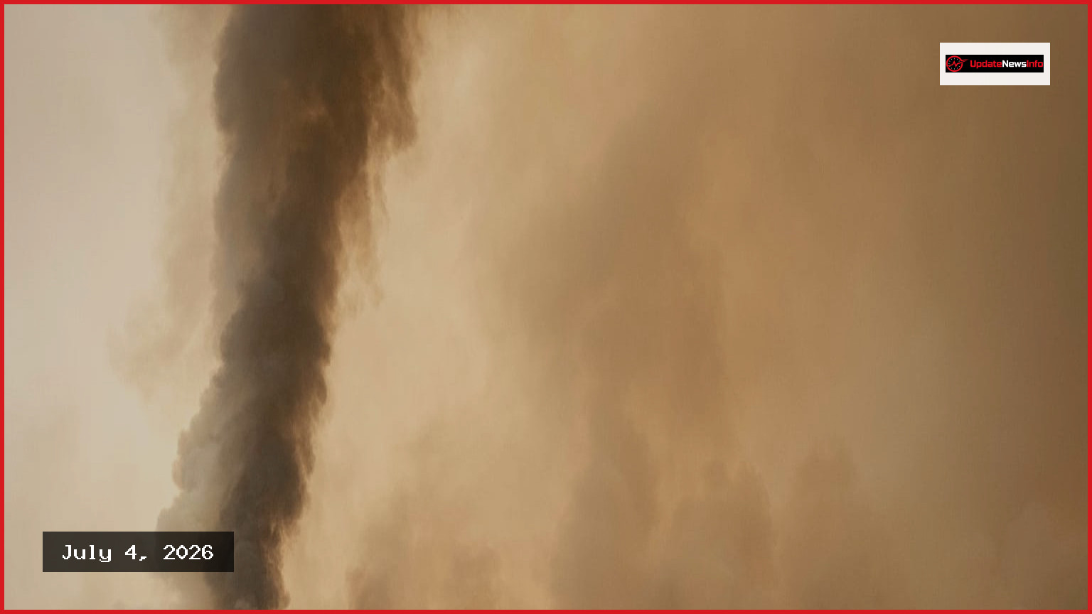
Assessing the impact of wildfires in Spain during 2026 has yielded varying statistics depending on the methodology used. The European Forest Fire Information System (EFFIS), which relies on satellite imagery, estimates that approximately 50,000 hectares have been scorched across the country this year. Meanwhile, the Ministry for Ecological Transition (Miteco) reports a slightly lower figure of 39,700 hectares as of June 21, based on data submitted by regional governments.
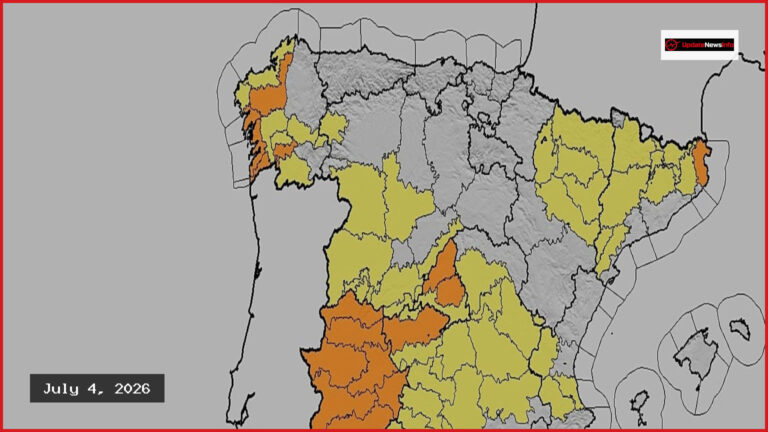
June proved to be the most destructive month thus far in 2026, accounting for 15,900 hectares burned. Conversely, July began with a period of relative calm, recording no major notable fires at the time of data compilation. When examining the geographical distribution, looking province by province, Cantabria stands out from the rest with 15,500 hectares burned—the highest figure in the country. It is not the region you would expect to find in that position. Historically, Ourense, Zamora, and León are the ones that post the worst figures year after year because of their vegetation and terrain.
Other areas have shown unusual activity; for instance, Álava recorded only 100 hectares burned, yet this remains significantly higher than the historical average for this time of year. Across the country, Miteco has identified 14 major forest fires, each resulting in more than 500 hectares of damage. Recent incidents have occurred in the Costa Brava, San Bartolomé de la Torre, Villanueva de los Castillejos, Alcampell, Obejo, and Congosto.
This wildfire trend extends beyond Spanish borders. Throughout the European Union, approximately 130,400 hectares have already burned, a figure 16% higher than what is typical for this time of the season. As the year progresses, authorities are monitoring whether the traditionally dangerous months of July and August will follow established patterns or intensify in scale.