The 2026 wildfire season in Spain has produced varying data depending on the measurement approach. Satellite imagery analyzed by the European Forest Fire Information System (EFFIS) indicates that approximately 50,000 hectares have been consumed by fire this year. Meanwhile, the Ministry for Ecological Transition (Miteco) reports a slightly lower figure of 39,700 hectares as of June 21, based on data submitted by autonomous communities.
June has proven to be the most severe month thus far, with 15,900 hectares burned. In contrast, July began without major noteworthy fires reported at the time of data compilation. When examining the impact by province, looking province by province, Cantabria stands out from the rest with 15,500 hectares burned, the highest figure in the country. It is not the region you would expect to find in that position. Historically, Ourense, Zamora, and León are the ones that record the worst numbers year after year because of their vegetation and terrain. Additionally, Álava has seen an unusually high total of 100 hectares burned for this point in the season.
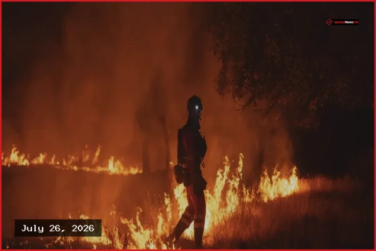
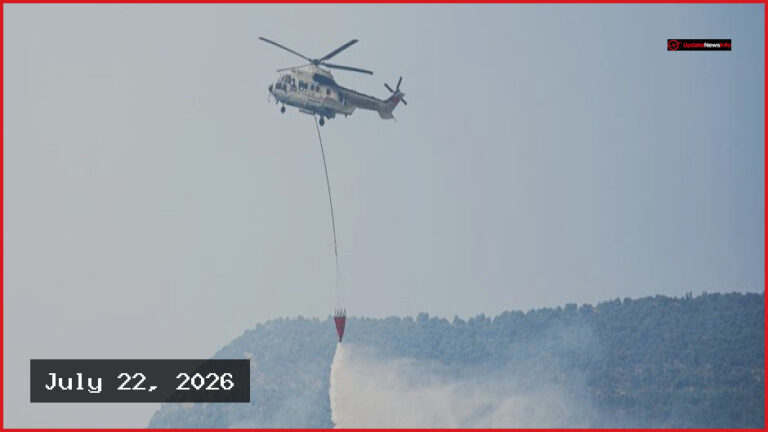
Miteco has identified 14 major forest fires this year, defined as blazes that consume more than 500 hectares. Recent incidents have occurred on the Costa Brava on July 3, as well as in San Bartolomé de la Torre, Villanueva de los Castillejos, Alcampell, Obejo, and Congosto. While the 353 major fires recorded throughout this century represent a small fraction of total annual blazes, they are responsible for a significant portion of long-term environmental damage.
This trend extends beyond Spanish borders, as the European Union has seen approximately 130,400 hectares burned, a figure 16% higher than the typical average for this time of year. As the season progresses, authorities are monitoring whether the traditionally dangerous months of July and August will see a continuation of these patterns or an escalation in the scale of fire activity.